

In short
A field history is the running record of one field: its boundary and area, the crops by season, the operations, the inputs and the yield.
It answers the question every agronomist asks before planning: what was here, and what was done to it? In Planva those records live in the field register and crop rotation.
Why keep a field history
Rotation depends on what grew before, and inputs depend on what went on last time. When that knowledge lives in one agronomist's head or in old spreadsheets, the farm loses it the day that person leaves. A field history keeps it with the field.
What to keep for every field
| Section | What to record | What it answers |
|---|---|---|
| Identity | Stable name, boundary, area, cadastral numbers | Are the office and the agronomist talking about the same field? |
| Crops | Crop, variety, sowing and harvest dates by season | What came before, and when can it return? |
| Operations | Type of work, dates, depth and speed | What was actually done? |
| Inputs | Seed, fertiliser and crop protection, planned and actual | What went onto this field? |
| Yield | Yield and total harvest | What did the season give? |
Where field histories break
- Renamed fields. Two names for one field split its history in half.
- Changed boundaries. A new boundary quietly rewrites old areas unless the earlier one is archived.
- Plan without actual. A record of the plan looks like a record of the work until someone checks.
How this works in Planva
- Field card. Boundary, areas, region and cadastral numbers. Fields import from Shapefile and KML and export to KML and SHP.
- Boundary archive. A boundary can be edited or replaced from a file, and previous boundaries stay in the archive.
- Crop rotation. Seasons with crop, variety, sowing and harvest dates, yield and total harvest.
- Operation history. Each field shows its agro-operations with plan and actual for rates, depth, speed and water.
Start with field mapping and task scheduling, then plan the next seasons with the crop rotation guide.
Common questions
A stable name and boundary, area, crops by season, operations, inputs planned and applied, and yield. Together they form the field history.
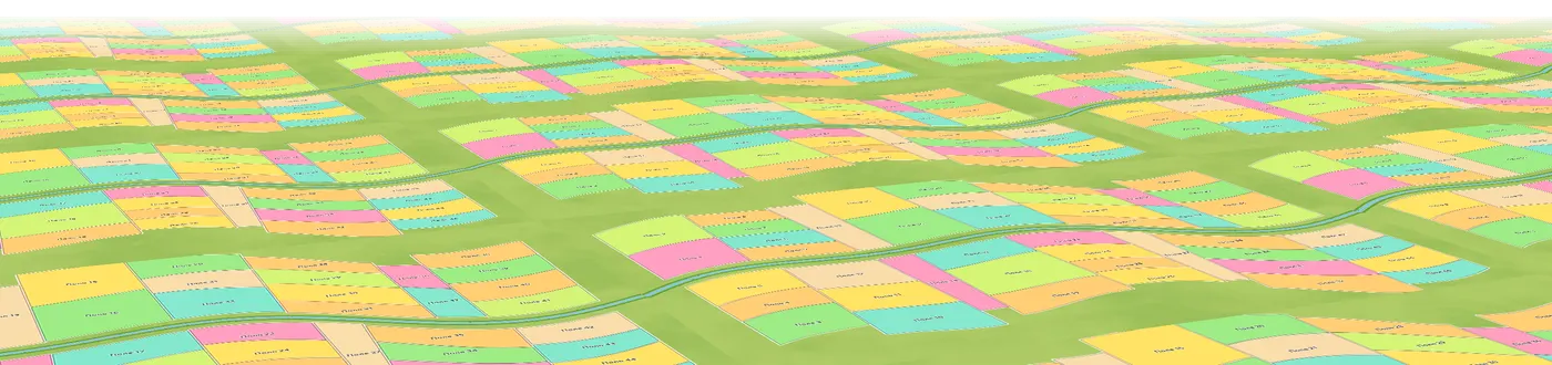
The real Planva interface, shown with test data.