
Updated November 4, 2026
Farm machinery tracking: telemetry, fuel events and alarms
Planva tracks farm machinery from the GPS trackers on your machines and ties each track to a machine task, a field and an agroplan.
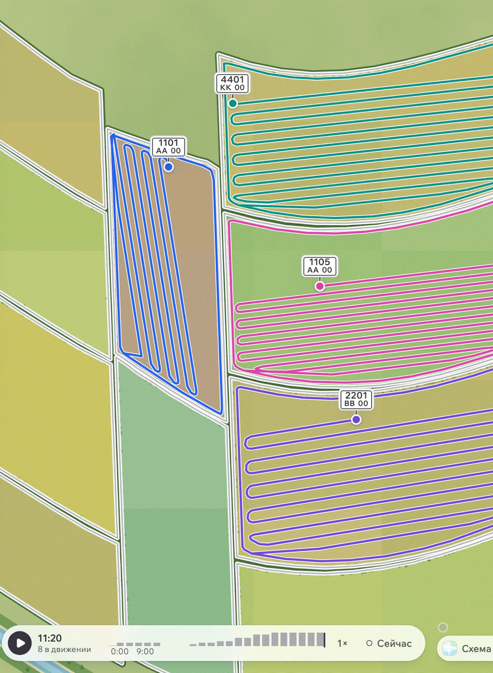
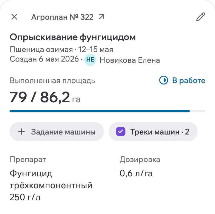
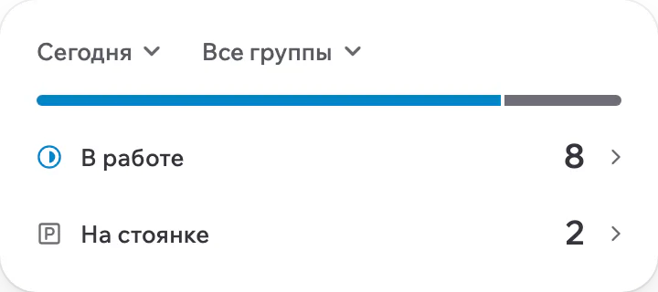


The dispatcher sees the machinery map, refills and drains from fuel level sensors, and alarms as they come in.
Your data stays in-country or on your own servers.
A dot on a map tells you where the tractor is. It does not tell you whether the planned work got done on the right field, and that is what you get asked at the end of the week. So in a demo, test the link between the track and the plan, not the map.
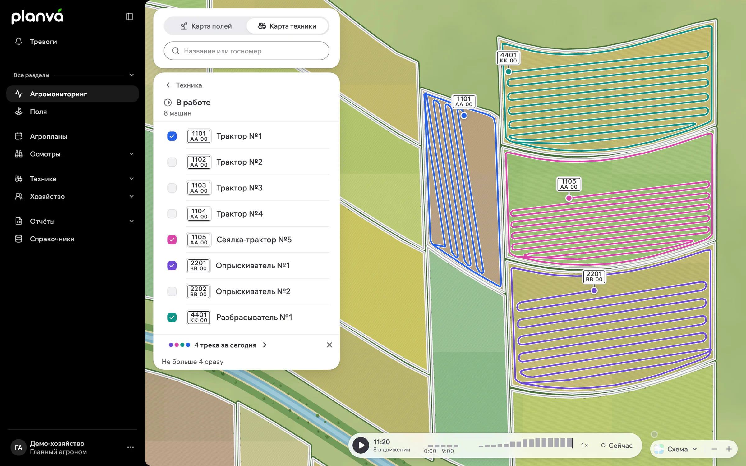
What the dispatcher sees
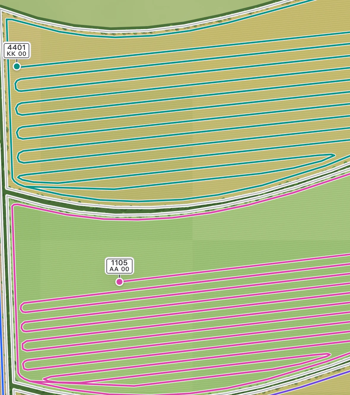
Machinery map
Tracks by field group for periods of up to 7 days. The map refreshes on its own at an interval from 10 seconds to 5 minutes, and the last point shows speed.
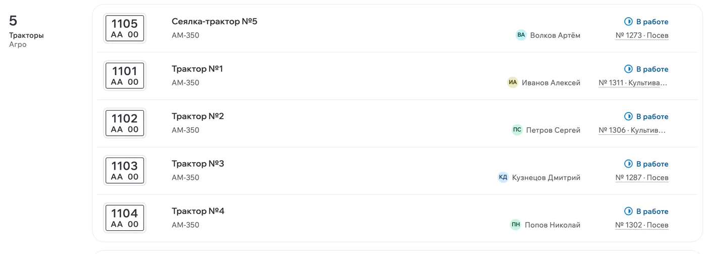
Machine task
Machine, driver, equipment, fields, the linked agroplan and a minimum and maximum planned speed.
Area
Full, net and confirmed area in the task, next to stops and fuel events.
Operator
An RFID tag identifies the operator in the task, and codes from telemetry bind to a person or implement for a period.
Fuel by level sensor
Calibration tables for fuel level sensors load from CSV or XLSX. The machine task then shows refills and drains as events, so the fuel record sits next to the work it belongs to. The driver report adds mileage, movement, idle time, parking, fuel and speed by RFID interval, for periods of up to 31 days.
To set a working norm and compare it with sensor data, use the guide to tractor fuel consumption.
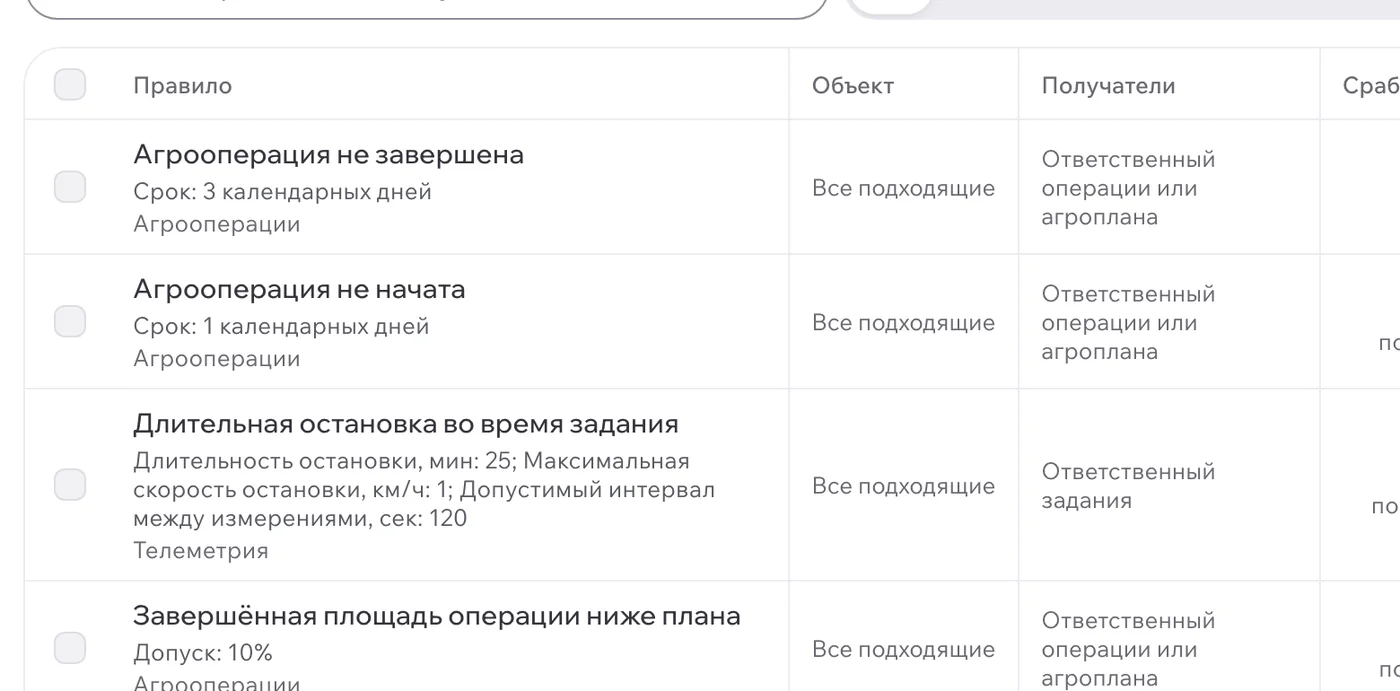
Five alarm rules
| Rule | What it catches |
|---|---|
| Lost connection | A tracker has stopped reporting. |
| Speeding | A machine has gone over the speed threshold. |
| Work outside the field | A machine is working outside the field, with a buffer you set in metres. |
| Task not started | A planned machine task has not begun. |
| Behind plan | Work is falling behind the plan. |
Notifications arrive in real time and show under the bell in the interface. After the work, the dispatcher report covers time in the field, transfers and idle time, and plan versus actual closes the loop.

What you need
You need GPS trackers on the machines. Planva keeps tracker status, bindings and value history, and GPS receivers are set up by protocol, server and port. Check your tracker models before the pilot, which runs for 2 to 4 weeks on your own machinery.
Who should not buy
If dots on a map are all you want, your tracker supplier's portal will do. Planva earns its place when machine tasks, fields and agroplans have to agree. The full picture is in farm management software.
Questions from dispatchers and engineers
Planva does. Tracks from GPS trackers tie to machine tasks, fields and agroplans, so the dispatcher can see whether the planned work was done.
Planva shows refills and drains from fuel level sensors as events in the machine task. Reading each event is still the job of your engineer or dispatcher.
Five rules with thresholds: lost connection, speeding, work outside the field with a buffer in metres, task not started and behind plan.
An RFID tag identifies the operator in the machine task. Codes from telemetry bind to a person or implement for a period, with a history of detections.
Pricing depends on acreage, modules, deployment model and implementation scope, and is fixed in the proposal and contract.
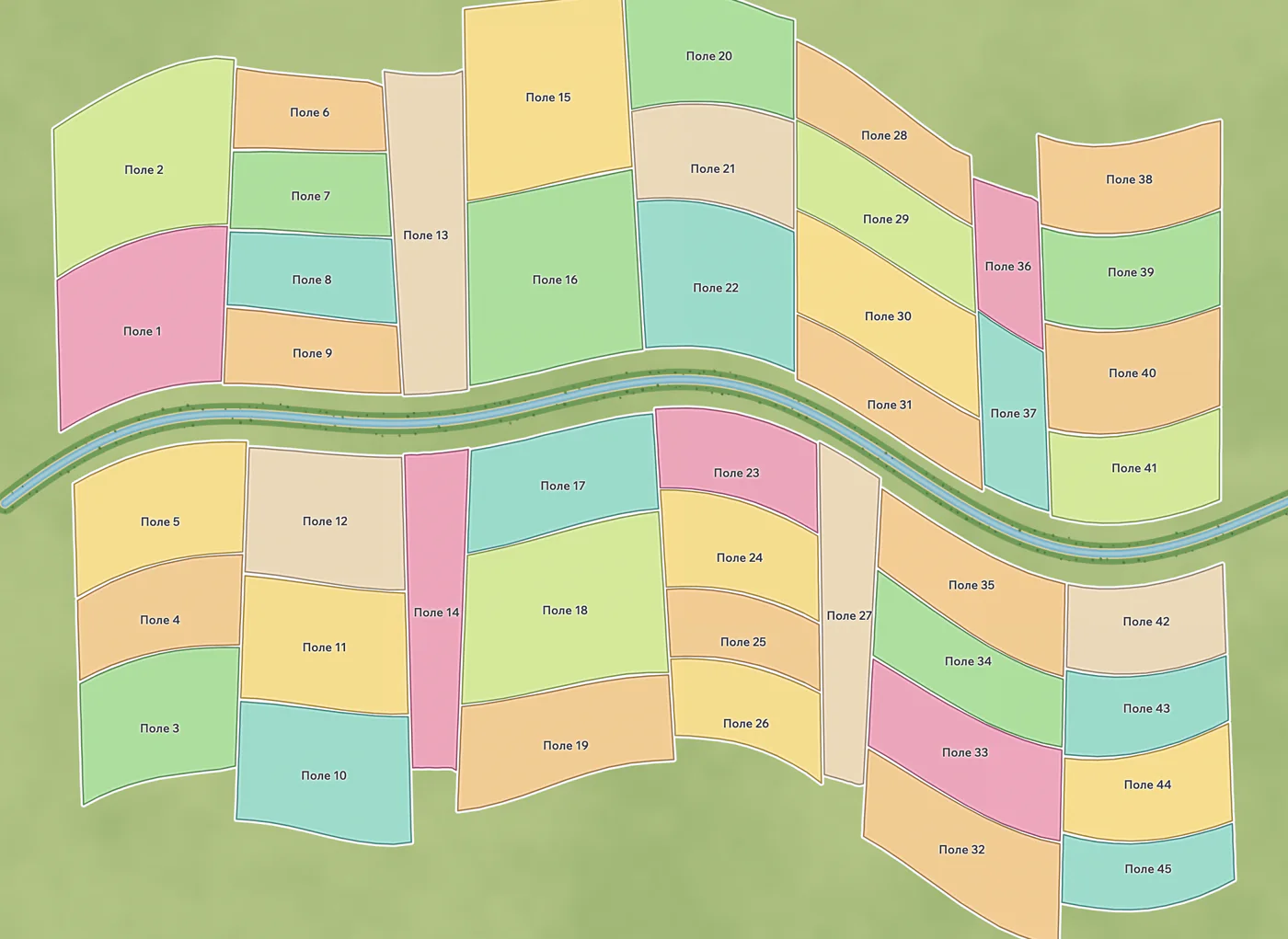
The real Planva interface, shown with test data.
Show us one of your fields
In a 30-minute demo we go through your fields, one agroplan and one machine task. Deployment and pricing get agreed before onboarding.
Support works 24/7