
Updated November 8, 2026
Farm management software comparison for field crop farms
This page sets Planva next to four other farm management platforms, using only what each vendor says on its own website.



It does not rank them.
Every line links to the page it came from, and we read those pages on November 8, 2026.
A feature list will not choose for you. Two questions sort a field crop shortlist faster. Where will the field data live? And does one record follow a field from the plan to the machine that worked it? Ask both of every vendor, us included.
What each vendor's own pages say
| Platform | What its own pages say |
|---|---|
| Agworld | Field plans run from a simple rotation up to field-by-field production plans, and you compare plans with actual costs during the season. The same page says farm data is stored in the cloud. |
| Climate FieldView | FieldView Drive 2.0 is an in-cab device that plugs into the machine's CAN diagnostic port and captures machine and field data. |
| FarmERP | An agriculture ERP platform for farms, plantations, greenhouses and orchards. Its blog describes linking GPS tracking tools to machinery. |
| Farmbrite | Crop planning tools cover the growing season. It runs in the browser and a mobile app on cloud hosting, with nothing to install. |
| Planva | The field register, crop rotation, agroplans with plan versus actual, machine tasks and telemetry all hang off one field record. It runs on your own servers with a perpetual licence, or in a cloud in your country by subscription. |
Where a vendor's site said nothing on a topic, we left the topic out rather than guess. Get prices, availability in your country and contract terms from each vendor in writing.
Five questions to put to every vendor
Data location
Ask for the country and the hosting provider in writing, and whether the software can run on your own servers.
Plan against actual
Enter one planned operation, then record what the machine really did. See whether the two sit on the same field record or in two tools.
Machines
Name the trackers you already own and ask which protocols the vendor reads. Test one before the pilot, not after signing.
Your history
Load last season for one field and check that the area, crop and name match your own records.
The way out
Agree which records you get back at the end of the contract, and in which formats.
Our answers to the same five

Data location
Your own servers on a perpetual licence, or a cloud in your country by subscription. The location goes into the contract.
Plan against actual
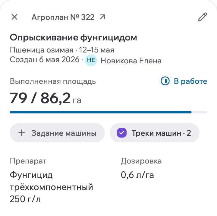
The agroplan holds the planned operations and materials, and the work done lands next to the plan on the same field.
Machines
GPS trackers report over Wialon IPS or Wialon Retranslator. We check your models before the pilot.
Your history
Boundaries load from Shapefile or KML, and the Planva team moves catalogues from another platform as part of the contract.
The way out
Boundaries export to KML and SHP, and agroplans and reports to XLSX.
A pilot runs for 2 to 4 weeks on your own fields and machinery. Agronomists are on the support team, 24/7. Pricing depends on acreage, modules, deployment model and implementation scope, and is fixed in the proposal and contract.
Who should not buy
If you want field maps and a planting record for a small farm, a lighter tool with published prices will suit you better. If your machines carry no trackers and never will, much of what Planva does sits unused. And if your current system does the job, keep it.
Before you choose
Start from where your data must live and how much of your work runs through machines. Planva fits farms that want the field register, agroplans and machine telemetry on one field record, on their own servers or in a cloud in their country.
Planva runs on your own servers with a perpetual licence, or in a cloud in your country by subscription. Put the same question to every other vendor in writing.
Some platforms read machine data through their own in-cab hardware, others through GPS trackers. Planva takes GPS trackers that report over Wialon IPS or Wialon Retranslator, and we check your models before the pilot.
Some vendors publish monthly plans and others quote each farm. Planva quotes each farm. Pricing depends on acreage, modules, deployment model and implementation scope, and is fixed in the proposal and contract.
Yes. Boundaries load from Shapefile or KML, and the Planva team moves catalogues from your current platform as part of the contract. The timeline depends on your exports and is agreed before you sign.
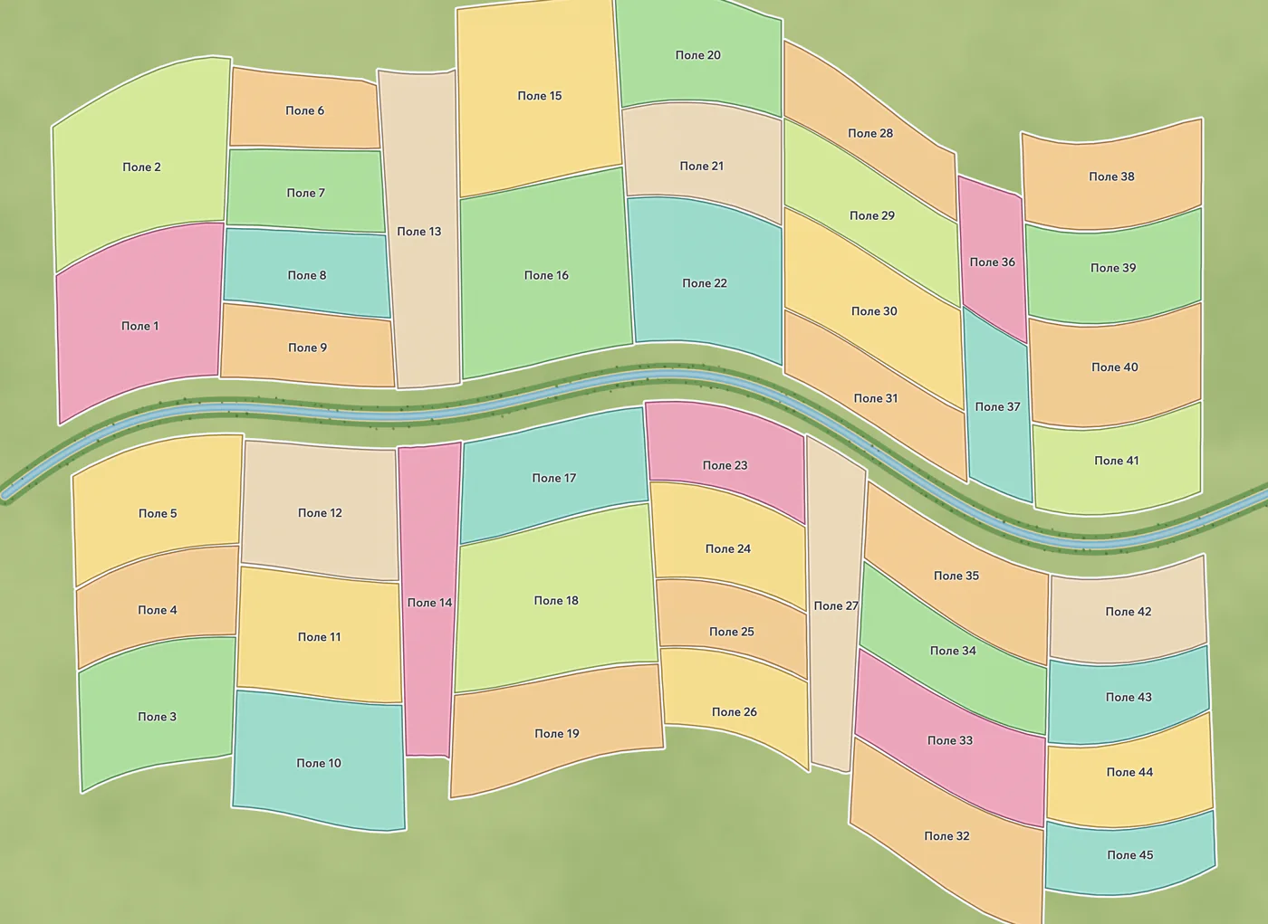
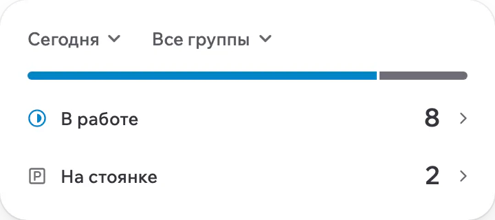
The real Planva interface, shown with test data.

Show us one of your fields
In a 30-minute demo we go through your fields, one agroplan and one machine task. Deployment and pricing get agreed before onboarding.
Support works 24/7